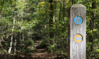
Across the Miner2Major Scheme Area there are 193km of public rights of way, made up of footpaths, bridleways and byways. This project will survey the existing network of routes and rights of way with local volunteers. Once surveyed we will be able to better promote and connect them to local attractions to help people to be able to make the most of the wealth of trails within the area.
Connecting Trails

History of Rights of Way
Rights of way historically were created by people walking across the land to work, market, the next village, church and school. In the 1940s these were officially surveyed by individual parishes and recorded on Definitive Maps and Statements from 1949 onwards. These are legal documents which give members of the public the right to cross specific routes over land which is often privately owned. The map and statement are continually changing as new paths are added, changed or very rarely extinguished.
Nottinghamshire County Council has a statutory duty to keep the Definitive Map up to date, this is a legal record of all the public rights of way in the county. Many of the paths were created on a piecemeal basis and don’t all connect to attractions and places of interest. Alongside this the quality of the path surfaces vary a great deal and not all of them are well promoted or maintained. They may also be difficult to access by people who have limited mobility.

Types of Path
There are 4 types of path and you can use different paths for different activities.
Footpaths – walkers only
Bridleway – walkers, horse riders and cyclists
Restricted Byways - walkers, horse riders, cyclists, horse and cart users
Byways - walkers, horse riders, cyclists, horse and cart users, motorcyclists and cars
They are signposted from the roadside and often have way markers along the route. You should always keep to the line of the path and have dogs under close control or on a lead. You can even take a pushchair or a wheelchair, although this can be difficult as some paths may be uneven, muddy, cross fields or have stiles along the way. We've been working on removing and replacing some stiles with easy access gates as part of this project.

Rights of Way Improvements
Using volunteers and walking groups, we’ve been surveying as many of these paths as we can. Using the information gathered we plan to carry out targeted improvement works in the areas of most need.
The works scheduled for 2023 are:
- Spa Pond Woods – Restricting illegal access and waymarking new bridleway.
- Vicar Water Country Park – Route clearance work and access improvements.
- Sherwood Forest NNR – maintenance of routes in protected areas feasibility study and trial of temporary surfacing.
- Bestwood Country Park – Improvements to bridleways and horse trails.
Routes and Rides Booklet
As part of the project engagement and interpretation a Sherwood Forest Routes and Rides booklet covering the Miner2Major area is being produced. This will complement the existing two Nottinghamshire County Council walks and rides booklets. The draft version of the booklet has been completed and is currently with the designers with an anticipated early Summer launch linked to walking courses delivered through the Inspire course programme.

Sherwood Voices